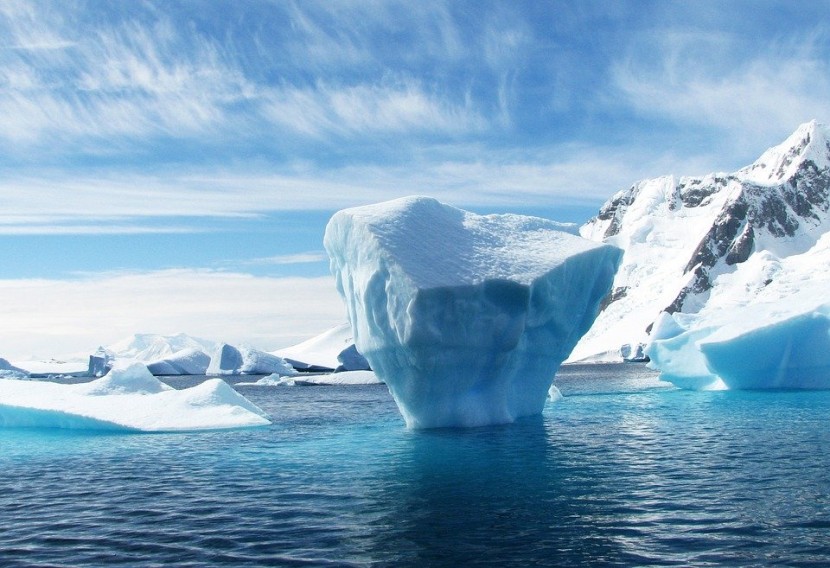
The polar ice caps are melting six times quicker than in the 1990s, according to scientists.
The ice loss from Greenland and Antarctica is tracing the worst-case climate warming phenomenon set forth by the Intergovernmental Panel on Climate Change (IPCC).
The shedding of ice is driving sea-level rise that could see annual flooding by 2100 in regions housing 400 million people.
The assessment by 89 researchers indicates that the kilometers-thick ice sheets sitting on landmasses at the Earth's extremities sloughed off 6.4 trillion tons of mass from 1992 through 2017. This added nearly two centimeters (an inch) to the global watermark.
Greenland and Antarctica have lost an average of 475 billion tonnes of ice every year since 2010, which is 6 times faster to 81 billion tonnes lost every year in the 1990s.
Without curbing greenhouse gas emissions, Earth will witness a 17-centimeter rise in sea level in 80 years.
The IPCC said that ice loss data from Greenland and Antarctica is linked with some of the most negative predictions of climate change and that given the chance that global carbon emissions were halted today, Arctic ice would still melt for another three decades.
"Three-quarters of the ice loss is because the waters around Greenland and Antarctica are too warm. It's not really hot. It's only half a degrees centigrade above freezing but it's enough to cause the glaciers to destabilize and to pour more ice into the sea," according to co-leader of the research Professor Andrew Shepherd, from the University of Leeds.
Also Read: Climate Change: Small Variations In Ice Sheets May Have Triggered Major Change In Previous Ice Age
The 89 polar scientists were from 50 international organizations.
The polar ice sheets have provided a third of all sea-level rise.
The Ice Sheet Mass Balance Inter-comparison Exercise (Imbie) was the team behind the research who combined 26 separate surveys to compute changes in the mass of the two landmasses' ice sheets between 1992 and 2018.
Ice loss at north and south poles were analyzed using 26 surveys and 11 satellite missions between 1992 and 2018, said a University of Leeds press release.
The ice sheets' contribution was small at about 5% in the 1990s which has important implications for future erosion and coastal flooding, noted Shepherd.
For Antarctica, the figures were published in Nature in 2018, while for Greenland, the figures were published in Nature this week.
Without rapid cuts to carbon emissions, according to their analysis, there may be a rise in sea levels that would expose 400 million people to coastal flooding each year by the end of the century.
Rising sea levels is one of the most jeopardizing long-term impacts of the climate crisis, with an accelerating contribution of Greenland and Antarctica.
The Arctic heatwave last summer will likely topple the 2011 record for polar ice sheet loss of 552 billion tons, as reported in a pair of studies Wednesday in Nature.
The record is roughly at par with eight Olympic pools draining into the ocean every second.
Shepherd said that coastal flooding and coastal erosion are unlikely events with small impacts and they are already underway with devastating impact on coastal communities.
According to Erik Ivins, from NASA's Jet Propulsion Laboratory in California, the loss of a huge amount of ice was a clear sign of global warming, adding: "The satellite measurements provide prima facie, rather irrefutable, evidence."
Related Article: Arctic Ice Melt Seems To Be A 'New Normal': NASA
© 2025 HNGN, All rights reserved. Do not reproduce without permission.


