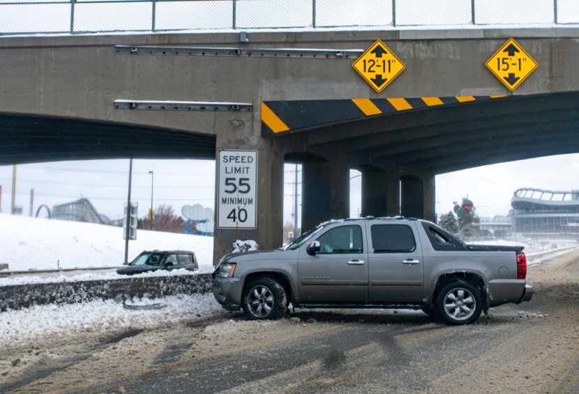
The next few days from the Rockies to the Mississippi River Valley will be experiencing severe weather as the areas of the central United Stated were forecasted to come across a historic snowfall and flash flooding resulting in 'impossible travel conditions.'
Historic Snowfall and Storms
According to CNN, the NWS or the National Weather Service office in Cheyenne, Wyoming announced on Thursday that they are expecting very difficult to impossible travel conditions not only in the southeast portion of Wyoming but also in the Nebraska panhandle. The NWS also added that people in the area should also expect extended periods of whiteout conditions, low visibilities, and the possibility of power outages.
Also, the storm system begins with its first threat over the Rockies, intense bands of snowfall will dump feet of powder across the states of Colorado and Wyoming. The system which is considered as slow-moving has the potential to produce throughout the weekend the biggest snowfall in decades for the eastern Rockies and western Plains, The Denver Channel reported.
Read Also : Pentagon Fires Back at Carlson's Sexist Remarks
In addition, they have also warned the public that dangerous travel conditions will be present across portions of interstate 25, 70, and 80, which means that drivers need to use extreme caution. But it is just one side of the system as the southern and eastern portion of the system will be pulling in warm and moist air from the Gulf of Mexico which means that it will be fueling severe storms which will last for several days, with the possibility of tornadoes as well.
Moreover, around 20 million individuals will be undergoing the threat of severe storms at some point Friday through Sunday across half a dozen states. The said states will be experiencing not only damaging winds but large hail and tornadoes as well, FreightWaves reported.
The cold front will eventually stall across the Southern Plains, which results in heavy rain over much of the same region throughout the next couple of days. The steady rainfall could also lead to flooding throughout the weekend.
Friday
The snow will begin to pick up on Friday morning. Throughout the day the snow bands will become more frequent around areas of Colorado and Wyoming with travel conditions continuing to deteriorate.
Despite some uncertainties, the general message from the NWS office in Boulder, Colorado is for 1-3 feet of snow for much of their forecast area. But Colorado is not the state to expect the historic snowfall accumulations, like Western Nebraska, Eastern Wyoming, and even portions of southern South Dakota will likely witness over a foot of snow through the weekend.
Saturday
By Saturday, the intense snowfall will be intense along the Front Range of the Rockies and will move into the Western Plains. The area is no stranger to March snowfalls as it is actually the snowiest month of the year in these areas.
The snowstorms in the area total over a foot of snow usually. The NWS in Cheyenne also confirmed that the snowfall totals currently are absolutely historic.
The greatest threat for severe weather on Saturday will be in the areas of Oklahoma City, Abilene, Texas, Tulsa, and Wichita, Kansas.
Sunday
By Sunday, as snow may begin to slow, the severe threat definitely does not as it will only change its location as the severe storms push east into Arkansas, Missouri, and Louisiana.
Widespread rainfall totals through Sunday are expected to be in the range of 2-4 inches, but some isolated spots could reach up to 6 inches total.
Related Article : Trump Insists He Won in a Call with Election Investigator


