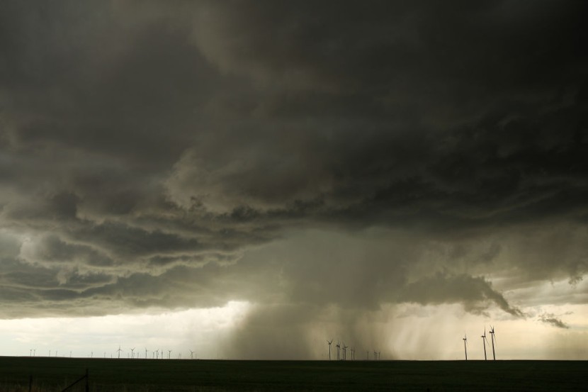
On Monday, a meteorologist traveling to Denver received a tornado warning on her phone and gazed out the plane window to see the tornado evolve in real-time. She was not the only one who saw the weather phenomenon. Other passengers on other flights saw it as well.
Adrienne Vonn remarked on Twitter, "Never had this happen before." Vonn works as a meteorologist for Spectrum News in Texas. She also said in her tweet that she received a tornado alarm on her phone and that her plane landed safely in Denver. Her post included a stunning snapshot of the twister taken from the window of her airplane.
Several flights witnessed the tornado
Other passengers departing and arriving at Denver International Airport saw the tornado from their planes at the same time. Chief meteorologist James Spann WBMA-LD, an ABC affiliate in Birmingham, Alabama, uploaded a video captured by someone named JC Schroeder on Twitter.
Weld County CO tornado as seen from a departing passenger jet today… video from JC Schroeder pic.twitter.com/k4QVAiXa8S
Schroeder filmed the video before leaving the airport, while Vonn was on an incoming airplane, according to Spann. Because the tornado struck just after 5 p.m. local time, the photos and video were likely captured at the same time.
Per Newsweek via MSN, the following was the first tweet on Denver International Airport's official Twitter account on the area's biggest weather-related news: "Weather alerts and tornado warnings in the proximity are creating departure and arrival delays. Before flying to DEN, make sure to verify the status of your trip with your airline."
The tornado struck roughly 20 miles north of downtown Denver and 15 miles east-northeast of Bouler. It landed near the town of Firestone before traveling northeast a few miles.
Along the tornado's route, downed power lines and damage to crops and buildings were recorded, although no deaths are believed to have occurred. The tornado seemed to be a landspout, according to many local news sites, which implies it developed on the ground owing to clashing air boundaries during the early stages of a thunderstorm.
Some of the craziest tornado footage I’ve seen
📸Scott and Gayle Meining, Platteville Colorado pic.twitter.com/CgEWVW4Vkt
Landspouts, unlike other tornadoes, originate near the ground and travel toward the sky. According to the Storm Prediction Center database of the National Oceanic and Atmospheric Administration (NOAA), Weld County, which was hit by a tornado on Monday, holds the record for the most tornadoes in both Colorado and the United States.
"When I saw the tornado, I said to myself, 'OK, let's go.' I didn't close the home or garage - simply left it open to get out of the way," resident Bob Ulmer told KDVR. He said that he was watching TV when his door blew open. He walked outdoors and estimated the tornado's distance to be less than two miles. He grabbed his dog and climbed into his pickup, heading north of Denver to the hamlet of Firestone in northern Colorado.
Colorado Tornado destroys homes, buildings
Per US News, authorities say a tornado that struck a rural region of northern Colorado on Monday destroyed structures on seven homes. There were no injuries recorded.
According to a damage report conducted by Weld County, two residences and two buildings at a feedlot were among the structures that were considered destroyed. The county said one of the feedlot buildings was destroyed by a fire caused by downed power lines triggered by the tornado, while the other was destroyed directly by the tornado.
With sustained winds of 99 mph, the National Weather Service categorized the tornado as an EF1 on the Enhanced Fujita scale, the second-lowest classification (159 kph), following a survey of the damage. According to the county, the tornado went around six miles and stayed on the ground for around 30 minutes.
Related Article: Look: World Dazzles With Stunning Blood Supermoon Through Photos, Videos Posted Online
@YouTube


