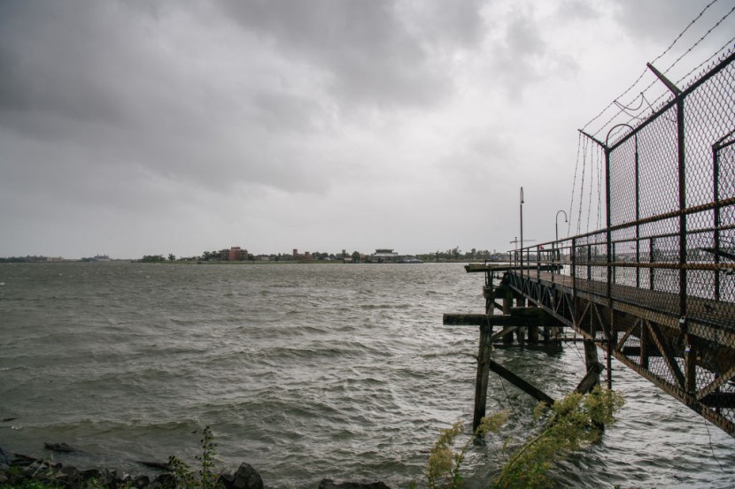
The power of Hurricane Ida when it slammed into Louisiana on Sunday was so great that it momentarily reversed the Mississippi River's flow.

Mississippi River Reverses Course From South to North
In a recently published article in USA Today, the river briefly flowed from south to north when Hurricane Ida made landfall as a Category 4 storm with fast intensification on Sunday afternoon. According to US Geological Survey data, an astounding about-face of the Mississippi River was recorded by a river gauge at Belle Chasse, just southeast of New Orleans.
The Mississippi was discharging approximately 350,000 cubic feet (9,910 cubic meters) of water per second in the days leading up to Ida's arrival. Water is carried upstream at a rate of 40,000 cubic feet (1,132 cubic meters) per second. That is a lot of water to turn in such a short amount of time.
Ida is expected to send a storm surge of 16 feet (almost 5 meters) onshore, with the worst flooding occurring between Port Fourchon's petrochemical hub and the Mississippi's mouth. According to a KCTV5 report, the river's 180-degree turn shows how powerful the surge was.
Impact of Hurricane Ida
As Ida's floods clogged highways and buried vehicles, her gusts broke trees and tore roofs off houses. The Category 4 hurricane was predicted to deliver up to 2 feet of rain and 7 feet of storm surge to certain places. In Louisiana, more than a million people were without electricity.
As the day turns to night and the storm persists, Ida may grow more concerned. The National Hurricane Center stated in its most recent forecast discussion that "Ida's forward progress has slowed." Rain bands may pass over a certain region more often while moving at a slower pace, resulting in higher rainfall totals and floods, according to a published report in CNN News.
Ida has also not weakened much after traveling for hours overland. Because of the brown ocean effect, which occurs when storms collect moisture from the land and maintain their strength even as they move inland, the storm is still packing 130 mph (209 kph) gusts.
Landfall of Hurricane Ida
The National Storm Center (NHC) said that Ida made landfall near Port Fourchon, Louisiana, early Sunday afternoon as a very hazardous Category 4 hurricane with winds of 150 mph. The storm hit on the 16th anniversary of Hurricane Katrina's catastrophic devastation.
Scott Perrien, a supervising hydrologist with the USGS Lower Mississippi Gulf Water Science Center in Baton Rouge, Louisiana, said that the river level at the USGS gauge at Belle Chasse, roughly 20 miles south of New Orleans in southern Louisiana, increased nearly 7 feet on Sunday owing to storm surge pushing up the river.
Ida reached a Category 4 hurricane early Sunday morning, tying for the most violent storm in Louisiana history with Laura in 2020 and the Last Island Hurricane of 1856, both of which had peak winds of 150 mph.
Meanwhile, on Monday morning, Ida was downgraded to a tropical storm and was approximately 50 miles north-northeast of Baton Rouge. The storm was still packing 60 mph winds and was expected to wreak havoc on Louisiana and Mississippi with torrential rainfall and floods.


