(Photo: by NOAA via Getty Images)
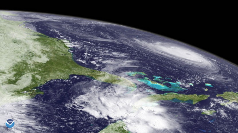
IN SPACE - SEPTEMBER 11: In this satellite image provided by the National Oceanic and Atmospheric Administration (NOAA), Hurricane Florence churns through the Atlantic Ocean toward the U.S. East Coast on September 11, 2018.
A significant step in Taiwan's effort to catch up to other countries in the development of space programs is the launch of its first locally produced weather satellite.
The satellite, known as Triton, was launched into orbit late on Sunday by the French commercial rocket Arianespace using Vega C, as reported by the South China Morning Post. It happened more than 30 years after Beijing's 1988 launch of its first weather probe.
The Wind Hunter
The satellite, also known as Wind Hunter, was launched by the Vega C, a new generation launch vehicle for small to medium-sized satellite payloads from Arianespace, from a launch site in French Guiana. It is moving in a low-Earth orbit between 550 and 650 kilometers above the planet.
Due to uncertainties surrounding some monitoring data, the launch that was scheduled for Saturday was aborted 14 seconds before ignition, according to Wu. Then it was cleared and moved to Sunday night.
According to Wu, the satellite was intended to offer observations over ocean regions vulnerable to severe weather.
Read also: New AI Technologies Emerging to Combat the Growing Wildfire Threat
Protecting Taiwan From Typhoons
Every year, typhoons hit Taiwan, and Wu claimed that by measuring wind speeds through the data it collects, the satellite would be able to assist weather forecasters in precisely predicting the ferocity of a storm.
He said that the satellite made use of the cutting-edge technique known as Global Navigation Satellite System-Reflectometry, which was created by scientists on the island and its space agency. Taiwan is one of the few countries in the world adopting this technique, which monitors ocean wind speed through reflections from the sea surface, according to Wu.
Pushing the Boundaries of Space Exploration
Taiwan produced more than 80 percent of the new satellite's technology, which, in Wu's words, demonstrates the nation's "dedication to pushing the boundaries of space exploration." He claimed that Taiwan's entry into the international space supply chain will receive "substantial support" from the "groundbreaking" navigation system.
Even though it was a significant achievement, he claimed Taiwan remained behind in space development. He used South Korea as an example, whose program started in the early 1990s and currently has a budget four to five times larger than Taiwan's. For this year, the island's space development program will cost NT$5.5 billion (US$171.1 million).
According to Wu, Taiwan is concentrating on satellites rather than rockets and plans to make significant advancements in this field over the next three to five years.
A politician from the main opposition Kuomintang party, Wu Shih-huai, said that the government had not given the space agency and scientists enough resources to create the program.
Triton is the second probe produced in Taiwan, however, it is the first weather satellite for the island. The first was a SpaceX Falcon 9 rocket-launched Earth observation satellite called FormoSat-5 in 2017. The satellite was created to take color and black-and-white pictures and measure plasma in the ionosphere of the Earth.
Related article: Severe Rainstorms Trigger Catastrophic Flooding in Greece as Extreme Weather Swarms Europe


