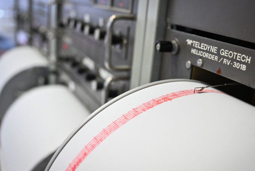
A powerful magnitude 7.6 earthquake struck the western Caribbean on Saturday night, prompting a tsunami advisory for the Cayman Islands before authorities later issued an "all clear."
The earthquake occurred at 6:23 p.m. ET at a depth of about six miles, approximately 130 miles south-southwest of George Town, Cayman Islands, according to the U.S. Geological Survey (USGS). Initially measured at magnitude 8.0, the USGS later revised its estimate to 7.6.
Following the quake, the Cayman Islands government's hazard management agency initially warned of a possible tsunami threat but later confirmed that no tsunami had been observed. "This was a large earthquake and [we] are thankful that no major damage has been reported across our Islands," said Danielle Coleman, director of Hazard Management Cayman Islands.
In the immediate aftermath, authorities urged people along the coastlines to move inland as a precaution. The agency explained that tsunamis can be deceptively powerful, sometimes appearing as waves only 1.5 feet high but capable of moving massive amounts of water over a width of 50-60 miles. A telltale sign of a tsunami, the agency noted, is a rapidly receding sea before the water surges back forcefully.
The U.S. Tsunami Warning System had also placed Cuba under a similar threat, with projections of waves between three and ten feet high. However, by late Saturday night, there were no active warnings, advisories, watches, or threats for the region, including Cuba.
A now-canceled tsunami advisory from the National Weather Service had also urged residents of Puerto Rico and the U.S. Virgin Islands to take precautions. Puerto Rico Governor Jenniffer González Colón advised residents to "get out of the water immediately, especially on the west and south coasts of the island" as a precautionary measure. "Although no major impact event is anticipated, as a safety precaution no one should be in the water until further notice," she added.
The USGS reported that the earthquake occurred along a strike-slip fault near the boundary between the North American and Caribbean tectonic plates.
"Large earthquakes at this location of the plate boundary are not unexpected," the agency stated, noting that ten magnitude 6 or greater earthquakes have occurred in the area over the past century.
One of the most significant quakes in the region happened on January 10, 2018, when a magnitude 7.5 earthquake caused some damage and triggered a small tsunami. "Luckily, the remote location of these earthquakes limits the potential for significant damage due to shaking," the USGS noted.
Despite the strength of Saturday's earthquake, no significant damage or casualties have been reported in affected areas.


